Our solutions combine user-friendly data capture with advanced processing and analysis software, empowering you to integrate spatial information seamlessly into your industrial processes. This not only improves efficiency but also enhances accountability. Gain real-time insights from captured data, optimize resource allocation, and make data-driven decisions that ultimately lead to better project outcomes.
VoidMapper
We Help Mines Save Money, Improve Safety, & Increase Productivity.
A novel Software as a Service (SaaS) product that addresses the shortcomings of the current workflow for converting raw 3D LiDAR point cloud data into meaningful deliverables.
VoidMapper features a fully automated cloud-based software data processing pipeline that reduces the need for mine personnel to complete any data processing. This results in a significant reduction in time and cost, while also improving the accuracy and reliability of the data. As a result, VoidMapper unlocks the full potential for LiDAR technology to truly become standard for one of the most fundamental tasks for underground mines: ensuring safety for personnel and productivity of the underground mining process.
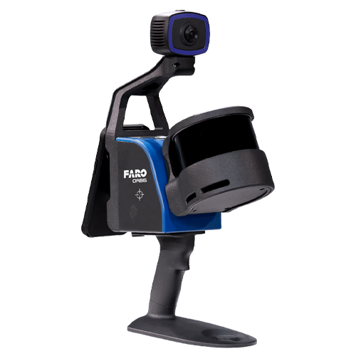
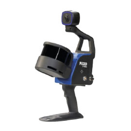
The ultimate mobile
mapping solution
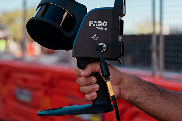
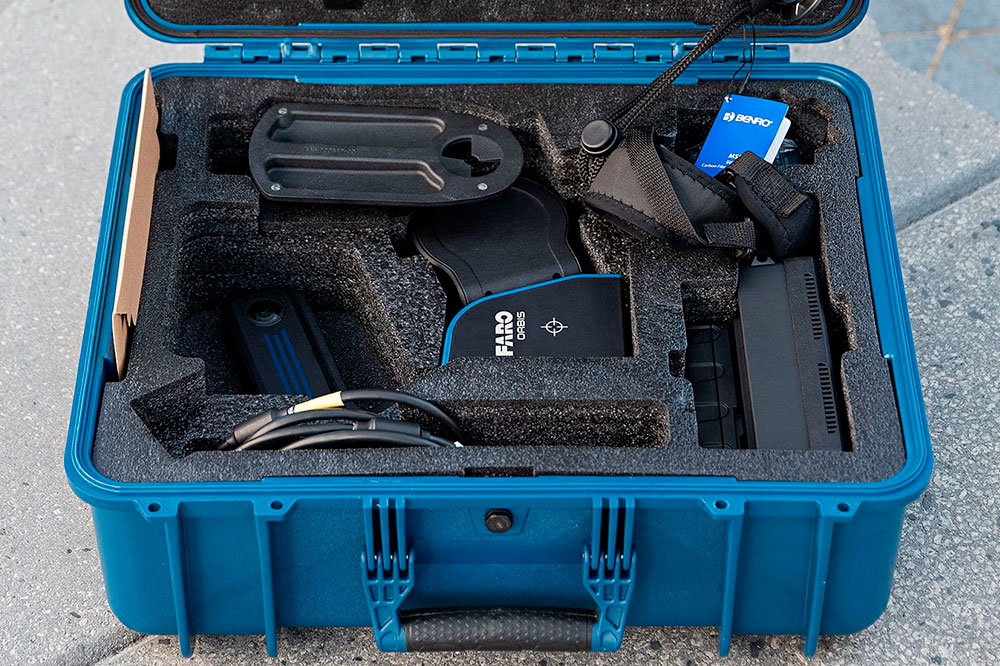
FARO® Orbis™ is a unique mobile scanning solution created to optimize workflows and increase productivity. Designed for construction, engineering and agricultural professionals, Orbis offers fast capture speed, while providing accurate 3D representations of the real world. The integration of FARO’s Flash Technology™ into Orbis enables stationary scans to be performed in just 15 seconds offering unmatched detail from a mobile mapping solution.
Powered by GeoSLAM’s proprietary SLAM algorithm, Orbis represents an evolutionary advancement for professionals seeking to deliver highly accurate results faster, reduce human error, and improve overall efficiency. Discover the potential of hybrid mobile scanning with stationary Flash scanning capabilities and embark on a new path to transform your projects with Orbis, your ideal ally to address scanning challenges in the modern era.
We Help Mines Save Money, Improve Safety, & Increase Productivity.
A novel Software as a Service (SaaS) product that addresses the shortcomings of the current workflow for converting raw 3D LiDAR point cloud data into meaningful deliverables.
VoidMapper features a fully automated cloud-based software data processing pipeline that reduces the need for mine personnel to complete any data processing. This results in a significant reduction in time and cost, while also improving the accuracy and reliability of the data. As a result, VoidMapper unlocks the full potential for LiDAR technology to truly become standard for one of the most fundamental tasks for underground mines: ensuring safety for personnel and productivity of the underground mining process.
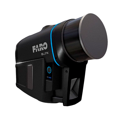
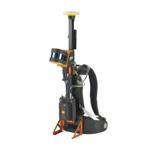
Our handheld 3D scanning solutions are compact, highly mobile, and incredibly easy to use—no technical expertise required. They capture and model complex spaces up to 10 times faster than traditional methods, making them ideal for rapid data collection in dynamic or hard-to-reach environments.
These systems use advanced LiDAR technology—also known as laser scanning—to generate accurate 3D models of your surroundings, even in areas without GPS or limited visibility.
VoidMapper eliminates the need for manual data processing, which can save mines significant time and money.
Accurate & Reliable
VoidMapper's automated data processing pipeline ensures that the data is accurate and reliable, which is essential for ensuring safety and productivity.
Ease to Use
VoidMapper is easy to use and does not require any specialized expertise. No special hardware is required.
Cloud-based
VoidMapper is a cloud-based solution, which means that data can be accessed from anywhere.
Scalable
VoidMapper can be scaled to meet the needs of any mine, regardless of size.