Who we are
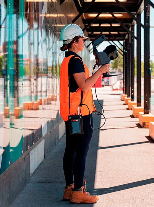
Caroni started when we saw the potential of SLAM (Simultaneous Localisation And Mapping) technology and how it can add value to different stakeholders and industries, and how we can offer immediate solutions through combining easy capture and advanced processing and analysis software.
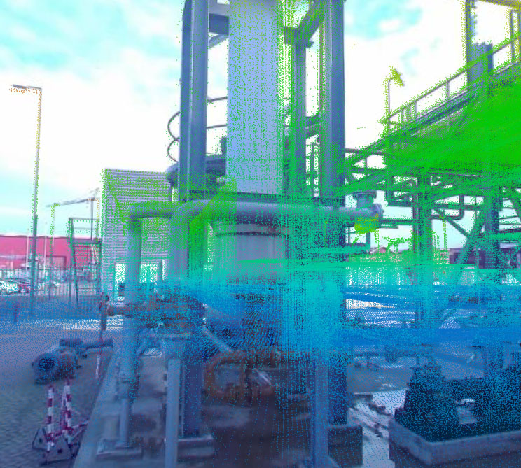
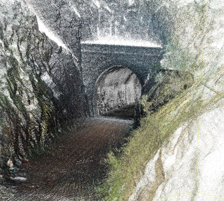
We will help you get insight of the data you captured so you can make more informed decisions. Our goal is to integrate spatial information into industrial processes, making them more effective and accountable.
We will guide you through the data capturing process, and then will help you analyse the data and extract the right information effectively. Best of all, you do not have to know about surveying or laser scanning, we help you with that.