Laser scanning is being accepted as a complement or substitute of other technologies such as radar or total stations.
Laser scanning is a very versatile tool that can be used for slope monitoring in open pits, stockpile volume calculations in mining, and asset management, construction verification and 3D modelling in construction. Given the variety of tasks, no laser scanning system fits all applications, meaning there are different segments of equipment, based on range, accuracy, point density and portability.
We will help you acquire (buying or leasing) the system that suits your requirements. After that, we will provide the right tools and training for your personnel and getting the results you expect with the right investment.
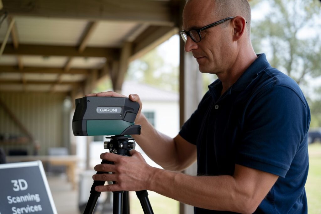
3D Laser scanning
Either construction, mining, mechanical or urban planning project, we will help you with your 3D Laser scanning needs, from project assessment, proof of concept, data capture, data processing and analysis.
We are able to capture large amounts of data quickly, accurately, cost-efficiently and safely in different environments – including restricted areas and difficult to access zones.
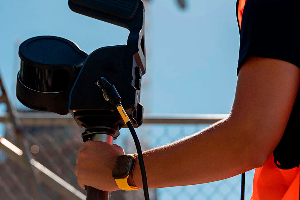
Mobile mapping
Mobile Mapping is a tool for different applications: Asset Management, BIM/ Digital Engineering, highways mapping, rail mapping, agriculture, forestry and coastal mapping. We will help you with your needs, assessing the project and helping you find the right tool for the task.
Monitoring
Implementation of laser scanning creates new opportunities in the analysis of processes occurring in the environment, in natural and man made features.
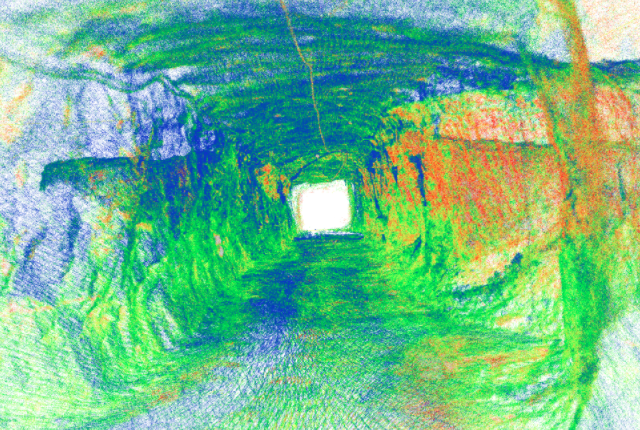
For example, Laser scanning allows accurate analyses of land relief changes and erosion phenomena. In the case of underground mines and tunnelling, using subsequent laser scans over time for detecting and quantifying ground movements, used for assessment of ground support effectiveness and indication of compromised ground support, and also to highlight areas for rehabilitation.
In construction, the data captured during ongoing projects allows to compare as-planned schedules versus as-built status, thus determining the performance of the project, and also to determine the variations of the performed versus the planned.
In mining processing plants, laser scanning can be used to monitor the wear of liners in grinding mills and gyratory crushers, allowing metallurgists and maintenance personnel to Mae informed decisions on reline scheduling and equipment operations.
Collaborations and Partnerships
Caroni provides consultancy services to our clients in several industries. We also collaborate with other consultancies and professionals around the world. We are keen to develop new relationships with engineers, spatial scientists, geoscientists, BIM managers who could benefit from having access to our expertise for their projects, or who can bring special skills to our projects.